

Description
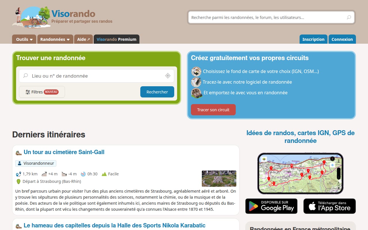
Visorando is a French hiking website and app listing tens of thousands of walking routes in France, its overseas territories and abroad, each with a map, duration, elevation and step-by-step description. Browsing is free. It is an alternative to paid hiking guidebooks and to American apps such as AllTrails.
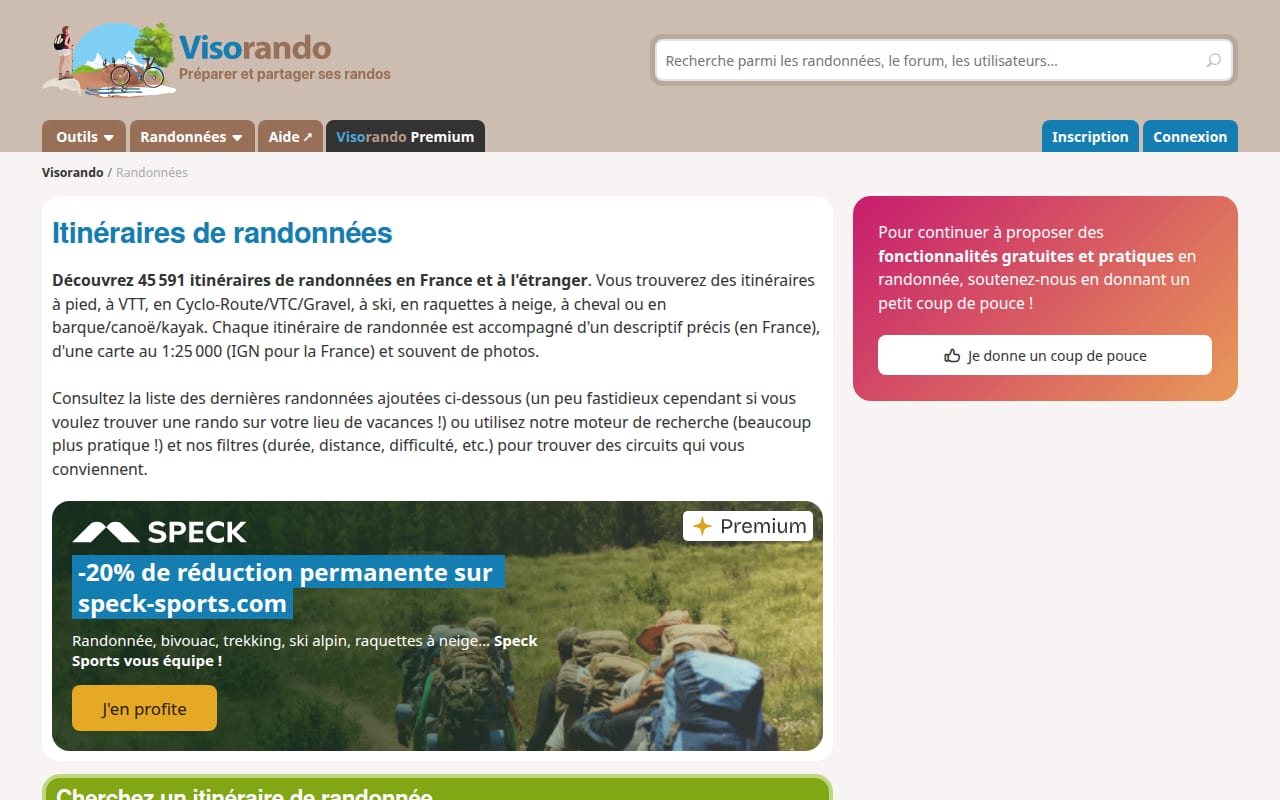
The company is based in Alsace, at the foot of the Vosges, with 13 full-time staff and a team of moderators. Anyone, from individual walkers to tourist offices, can propose a route; moderators check each one before it is published, and walkers can then review it. With a free account, users can download the GPX track or a PDF route sheet, and draw their own routes on IGN or OpenStreetMap backgrounds. In 2026 the site also asked users for donations to keep the free features going.
The Premium subscription costs €25 a year or €6 a month (checked November 2026), with a three-day free trial in the app. It adds IGN topographic maps at 1:25,000 for France and its overseas territories, plus Belgian, Spanish, Swiss, British and US maps, all usable offline on the phone. It also brings a 3D view, a slope map, a seven-day forecast, snow and avalanche layers, live position sharing, custom PDF maps and no ads.
Strengths
- Tens of thousands of routes, each checked by a moderator before publication.
- Route sheet, GPX track and printable PDF free with an account, and route drawing on IGN or OpenStreetMap.
- Premium is cheap at €25 a year for offline IGN maps on the phone, with avalanche and weather layers.
Weaknesses
- IGN maps and offline use are for subscribers only.
- The free version shows ads, which only Premium removes.
- A private company that depends on subscriptions and donations, with no published figures on its finances.
Who it is for
People looking for a day walk near home or on holiday in France who want a checked route and a sheet to print, and regular hikers who need offline IGN maps.
Sources
- Visorando: home, Premium, coup de pouce, checked November 2026