
Description
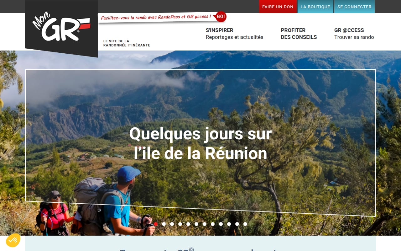
MonGR is the official website of the GR long-distance footpaths in France, published by the French hiking federation (FFRandonnée), with a map of the trails, themed route ideas, topoguides for sale and GR @ccess, a subscription route planner.
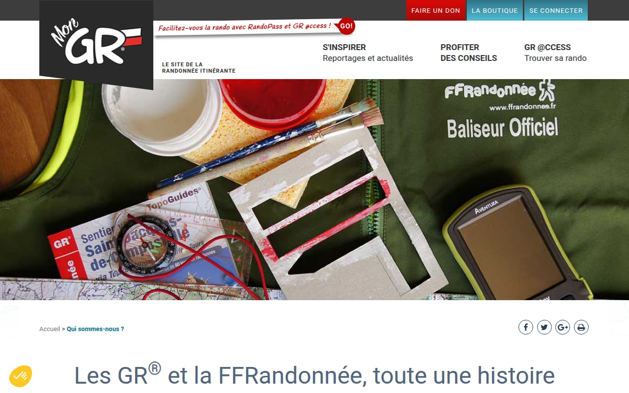
The federation began in 1947 as the national committee for long-distance footpaths and became the FFRandonnée in 1978. It says it has 3,450 clubs and 245,000 members, and more than 8,500 volunteers who waymark and survey the trails. Depending on the page, MonGR gives 70,000 to 94,800 km of GR and GR de Pays paths, and GR @ccess offers more than 450 route suggestions.
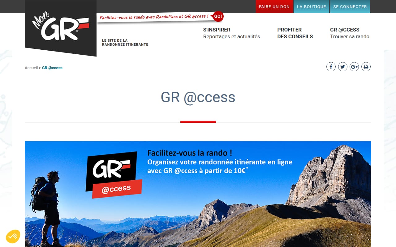
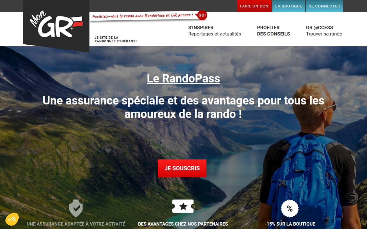
The homepage map and themed routes can be browsed without an account. GR @ccess costs €10 a month or €18 a year for holders of a RandoPass, which the site describes as 28 % below the general public price; the RandoPass itself costs from €18. The public prices were only shown as images. MonGR doesn’t have its own app but points to MaRando, the federation’s official app. The site was active in November 2026.
Strengths
- The routes come from the federation whose volunteers waymark and maintain the GR paths, so the information matches the signs on the ground.
- The map and route ideas can be browsed for free, without an account.
- Buying a RandoPass or a topoguide supports a non-profit federation and its volunteer waymarkers.
Weaknesses
- The route planner GR @ccess is paid, and its public price wasn’t readable on the site, only shown as an image.
- Its figures differ between pages, from 70,000 to 94,800 km of trails, and some pages date from 2016 and 2018.
- There is no MonGR app; for the phone, hikers have to use the separate MaRando app.
Who it is for
Hikers in France who plan walks or long-distance treks on GR paths and want official routes from the federation that marks them, rather than a commercial app.
Sources
- MonGR: home, RandoPass, GR @ccess, the GR and the FFRandonnée (checked November 2026)